Status - dismantled
Length - 7.5 miles
Traffic - passenger & freight
Perhaps the most controversial of all the railway closures in Fife. The Cowdenbeath to Kinross route was a double-tracked line which ran all the way to Perth and indeed formed the shortest connection between Edinburgh and the Fair City, a journey which today requires a circuitous loop via Stirling or Kirkcaldy. The line seemed to have escaped the Beeching Axe of the 60s but the whole system bit the dust in January 1970 for reasons which still remain something of a mystery. However, the emergence of the M90 upon significant stretches of trackbed between Perth and Kinross a few years after the rails had been lifted gives an insight into transport strategies back in these days.
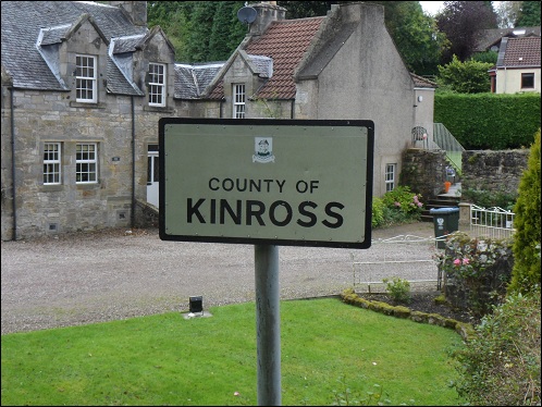
We begin our journey outside Fife as traces of the line between Cowdenbeath and Kelty are difficult to find. Kinross has not officially existed as a county since regionalisation in 1975, when it became part of Tayside. Fife managed to cling on to its status to become the smallest of the nine regions. The structure was changed in 1996 and many of the former counties reinstated, but the old Kinross Shire became part of the Perth and Kinross authority. This sign still stands in the village of Maryburgh.
An inconvenience for railway walkers everywhere is the missing bridge, particularly if it formerly straddled a river. Iron and steel midsections were often swiftly removed, ostensibly for scrap. The more conspiratorially minded would suggest it was a cynical ploy to ensure the closed lines could not be reopened in a hurry.
Large sections of trackbed are still easy to follow. This shot was taken a few miles short of Kinross.
An infilled stone bridge blocks the way.
Climbing up on to the bridge provides a fine view of the line stretching straight ahead.
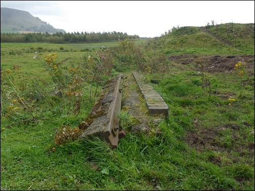
A piece of rail left behind, 42 years after closure!
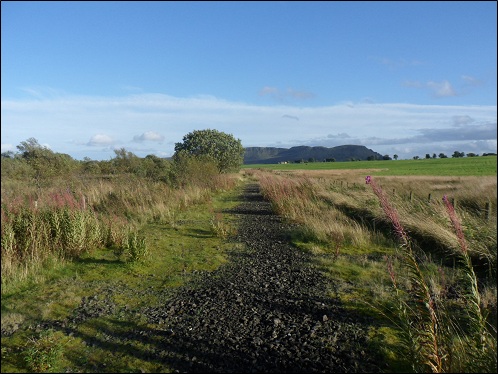
Still easily recognisable as a railway, with the crunch of ballast underfoot.
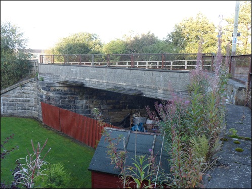
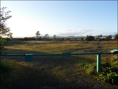
Bridge under the B996 on the edge of Kinross. A new housing development has taken over some of the old trackbed.
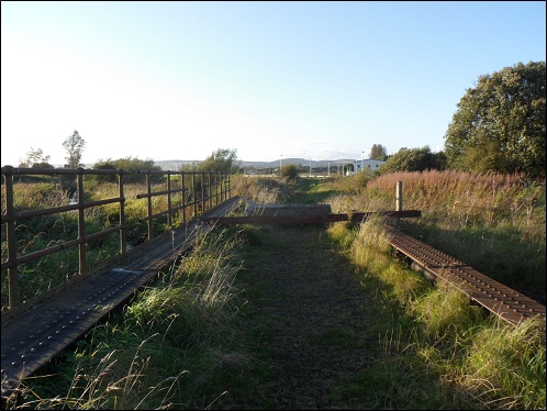
Site of the former Loch Leven station and goods yard. Closed in 1920.
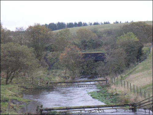
Beyond Loch Leven station, a bridge over a stream still stands. A barrier has been welded across the trackbed, possibly to deter motorbikes, which marks the end of our trip northwards.
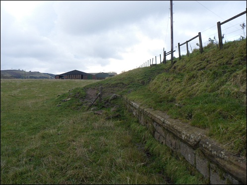
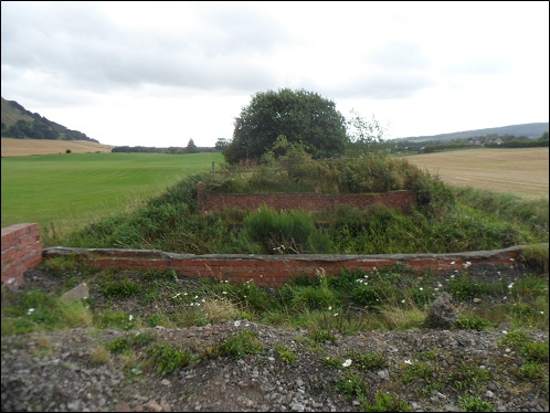
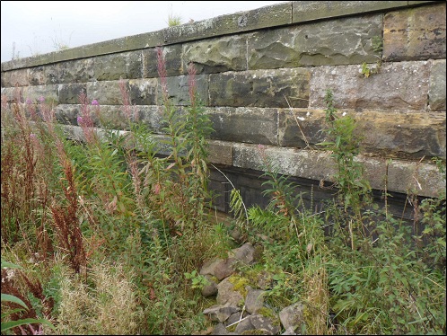
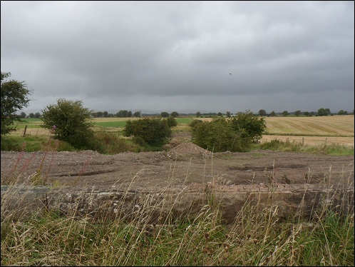
Trying to trace the line from the boundaries of Fife back towards Cowdenbeath isn't quite so easy. Agriculture has reclaimed large sections of the trackbed. Here we see the mound of an infilled bridge on the minor road that skirts the foot of Benarty Hill. The original retaining wall is still in evidence.
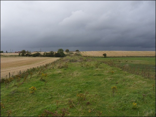
Gaining some height on the Hill Road allows us to look down on a cutting between the fields.
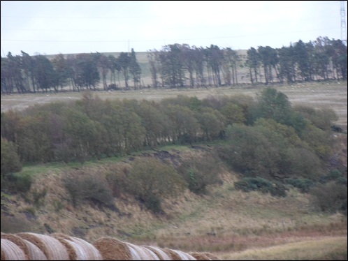
A length of trackbed can be found in the north-western corner of Lochore Meadows Country Park. Beyond the trees, the landscape gives way to green pasture. At one time these fields were a hive of railway activity with several lines converging outside Kelty.
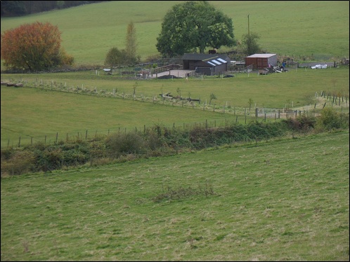
A short piece of embankment can be seen from the road leading to Hilton of Beath Farm near Kelty. Old maps tell us that the line once crossed under this road in a cutting but there is no evidence of this today. The landscape has obviously been through significant changes since 1970.
Just in front of the embankment in the previous shot, the Lochfitty Burn is bridged at a much lower level. It is assumed that this structure was previously a railway culvert. Certainly it seems far too substantially built (and wide) for farm use only. This was also the point where the original Cowdenbeath to Kelty line met up with the new alignment. The old route has also disappeared into the surrounding landscape.
Looking for evidence at the Cowdenbeath end of the line is fruitless. In 1981, the village of Gray Park on the southern fringes of Cowdenbeath was demolished due to the construction of the Mossmorran chemical plant and the residents rehoused in a new scheme built upon the course of the railway.